
Vale topographic map
Interactive map
Click on the map to display elevation.
About this map
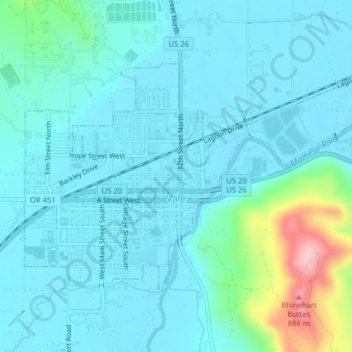
Name: Vale topographic map, elevation, terrain.
Location: Vale, Malheur County, Oregon, Estados Unidos da América (43.97467 -117.25552 43.99298 -117.21592)
Average elevation: 710 m
Minimum elevation: 677 m
Maximum elevation: 897 m