
الكرخ topographic map
Interactive map
Click on the map to display elevation.
About this map
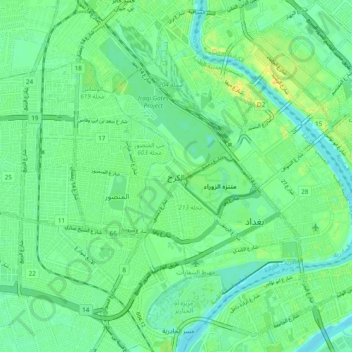
Name: الكرخ topographic map, elevation, terrain.
Location: الكرخ, Bagdad, بلدية الكرخ, Gobernación de Bagdad, 10092, Irak (33.27638 44.32589 33.35638 44.40589)
Average elevation: 38 m
Minimum elevation: 28 m
Maximum elevation: 57 m