
Chirwha topographic map
Interactive map
Click on the map to display elevation.
About this map
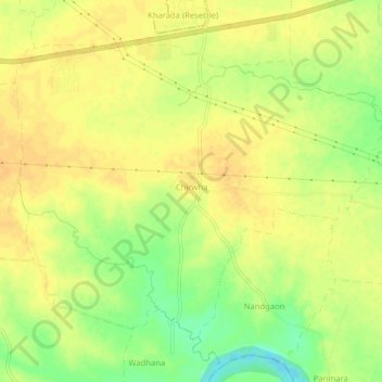
Name: Chirwha topographic map, elevation, terrain.
Location: Chirwha, Mauda Taluka, Nagpur District, Maharashtra, India (21.11216 79.42492 21.14971 79.47658)
Average elevation: 264 m
Minimum elevation: 244 m
Maximum elevation: 272 m
Other topographic maps
Click on a map to view its topography, its elevation and its terrain.