
Karnala topographic map
Click on the map to display elevation.
About this map
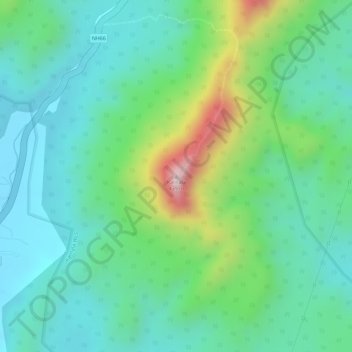
Name: Karnala topographic map, elevation, terrain.
Location: Karnala, Panvel, Raigad, Maharashtra, 410207, India (18.88130 73.11812 18.88140 73.11822)
Average elevation: 130 m
Minimum elevation: 19 m
Maximum elevation: 409 m
Other topographic maps
Click on a map to view its topography, its elevation and its terrain.