
Thank you for supporting this site ❤️
Make a donation
Make a donation
Kanta-Häme topographic map
Click on the map to display elevation.
Thank you for supporting this site ❤️
Make a donation
Make a donation
About this map
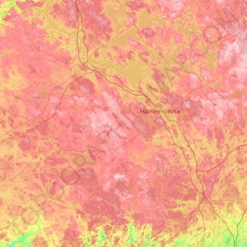
Name: Kanta-Häme topographic map, elevation, terrain.
Location: Kanta-Häme, Southern Finland, Mainland Finland, Finland (60.55250 23.13515 61.32485 25.26907)
Average elevation: 106 m
Minimum elevation: 18 m
Maximum elevation: 187 m
Thank you for supporting this site ❤️
Make a donation
Make a donation