
Thank you for supporting this site ❤️
Make a donation
Make a donation
Nimbha topographic map
Click on the map to display elevation.
Thank you for supporting this site ❤️
Make a donation
Make a donation
About this map
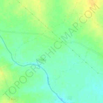
Name: Nimbha topographic map, elevation, terrain.
Location: Nimbha, Chandur Railway, Amravati, Maharashtra, India (20.67839 77.94318 20.70785 77.98561)
Average elevation: 285 m
Minimum elevation: 273 m
Maximum elevation: 300 m
Thank you for supporting this site ❤️
Make a donation
Make a donation