
金涵畲族乡 topographic map
Interactive map
Click on the map to display elevation.
About this map
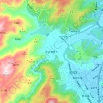
Name: 金涵畲族乡 topographic map, elevation, terrain.
Location: 金涵畲族乡, 蕉城区, 宁德市, 福建省, 352100, 中国 (26.63976 119.46287 26.71976 119.54287)
Average elevation: 254 m
Minimum elevation: 0 m
Maximum elevation: 846 m
Other topographic maps
Click on a map to view its topography, its elevation and its terrain.