
Hanlon Creek Park topographic map
Interactive map
Click on the map to display elevation.
About this map
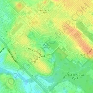
Name: Hanlon Creek Park topographic map, elevation, terrain.
Location: Hanlon Creek Park, 505, Guelph, Ontario, Canada (43.51067 -80.23127 43.51567 -80.22125)
Average elevation: 331 m
Minimum elevation: 313 m
Maximum elevation: 348 m
Other topographic maps
Click on a map to view its topography, its elevation and its terrain.