
Pladic topographic map
Interactive map
Click on the map to display elevation.
About this map
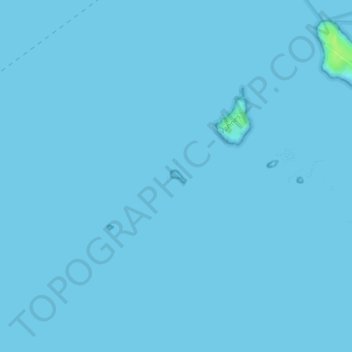
Name: Pladic topographic map, elevation, terrain.
Average elevation: 0 m
Minimum elevation: 0 m
Maximum elevation: 12 m
Other topographic maps
Click on a map to view its topography, its elevation and its terrain.
Île Tascon
France > Bretagne > Saint-Armel
Île Tascon, Saint-Armel, Vannes, Morbihan, Bretagne, France métropolitaine, 56450, France
Average elevation: 1 m
Trohennec
France > Bretagne > Saint-Armel
Trohennec, Saint-Armel, Vannes, Morbihan, Bretagne, France métropolitaine, 56450, France
Average elevation: 2 m