
Carrandi topographic map
Interactive map
Click on the map to display elevation.
About this map
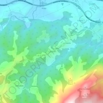
Name: Carrandi topographic map, elevation, terrain.
Location: Carrandi, Colunga, Asturias, 33320, España (43.44239 -5.28880 43.48239 -5.24880)
Average elevation: 188 m
Minimum elevation: 4 m
Maximum elevation: 759 m