
Fort Portal topographic map
Interactive map
Click on the map to display elevation.
About this map
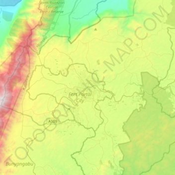
Name: Fort Portal topographic map, elevation, terrain.
Location: Fort Portal, Kabarole, Western Region, 329, Ouganda (0.49619 30.11794 0.81619 30.43794)
Average elevation: 1,523 m
Minimum elevation: 683 m
Maximum elevation: 2,982 m