
Clariden topographic map
Interactive map
Click on the map to display elevation.
About this map
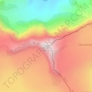
Name: Clariden topographic map, elevation, terrain.
Location: Clariden, Silenen, Uri, Schweiz (46.84189 8.87106 46.84199 8.87116)
Average elevation: 2,763 m
Minimum elevation: 2,125 m
Maximum elevation: 3,250 m
Other topographic maps
Click on a map to view its topography, its elevation and its terrain.