
Kā Roimata o Hine Hukatere / Franz Josef Glacier topographic map
Interactive map
Click on the map to display elevation.
About this map
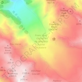
Name: Kā Roimata o Hine Hukatere / Franz Josef Glacier topographic map, elevation, terrain.
Average elevation: 1,709 m
Minimum elevation: 578 m
Maximum elevation: 2,451 m