
Harboøre topographic map
Interactive map
Click on the map to display elevation.
About this map
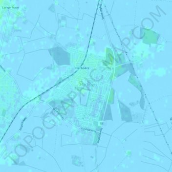
Name: Harboøre topographic map, elevation, terrain.
Location: Harboøre, Lemvig Kommune, Region Mitteljütland, Dänemark (56.61005 8.16867 56.62420 8.18794)
Average elevation: 0 m
Minimum elevation: -4 m
Maximum elevation: 4 m