
Drumahorgan topographic map
Interactive map
Click on the map to display elevation.
About this map
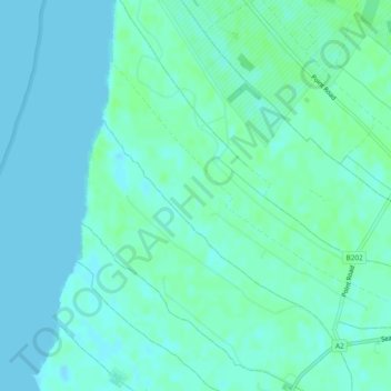
Name: Drumahorgan topographic map, elevation, terrain.
Average elevation: 3 m
Minimum elevation: -1 m
Maximum elevation: 7 m
Other topographic maps
Click on a map to view its topography, its elevation and its terrain.
Carrickhugh
Royaume-Uni > Irlande du Nord > Londonderry/Derry
Carrickhugh, Londonderry/Derry, County Londonderry, Irlande du Nord, Royaume-Uni
Average elevation: 34 m
Finglen
Royaume-Uni > Irlande du Nord > Londonderry/Derry
Finglen, Londonderry/Derry, County Londonderry, Irlande du Nord, Royaume-Uni
Average elevation: 372 m
Glenedra
Royaume-Uni > Irlande du Nord > Londonderry/Derry
Glenedra, Londonderry/Derry, County Londonderry, Irlande du Nord, Royaume-Uni
Average elevation: 392 m
Disertowen
Royaume-Uni > Irlande du Nord > Londonderry/Derry
Disertowen, Londonderry/Derry, County Londonderry, Irlande du Nord, Royaume-Uni
Average elevation: 84 m