
Herning topographic map
Interactive map
Click on the map to display elevation.
About this map
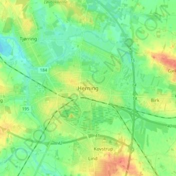
Name: Herning topographic map, elevation, terrain.
Location: Herning, Herning Kommune, Jutland central, 7400, Danemark (56.09798 8.93466 56.17798 9.01466)
Average elevation: 52 m
Minimum elevation: 37 m
Maximum elevation: 76 m