
Area A (Kyuquot/Nootka/Sayward) topographic map
Interactive map
Click on the map to display elevation.
About this map
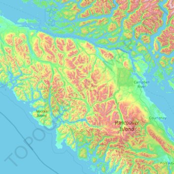
Name: Area A (Kyuquot/Nootka/Sayward) topographic map, elevation, terrain.
Average elevation: 193 m
Minimum elevation: -1 m
Maximum elevation: 2,028 m