
Thank you for supporting this site ❤️
Make a donation
Make a donation
Lovelock topographic map
Click on the map to display elevation.
Thank you for supporting this site ❤️
Make a donation
Make a donation
About this map
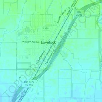
Name: Lovelock topographic map, elevation, terrain.
Location: Lovelock, Pershing County, Nevada, United States (40.16768 -118.48591 40.18794 -118.46646)
Average elevation: 1,213 m
Minimum elevation: 1,209 m
Maximum elevation: 1,218 m
Thank you for supporting this site ❤️
Make a donation
Make a donation
Other topographic maps
Click on a map to view its topography, its elevation and its terrain.