
Pearland topographic map
Interactive map
Click on the map to display elevation.
About this map
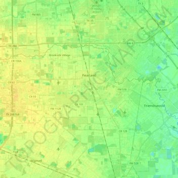
Name: Pearland topographic map, elevation, terrain.
Location: Pearland, Brazoria County, Texas, Estados Unidos de América (29.49745 -95.44688 29.59834 -95.21143)
Average elevation: 14 m
Minimum elevation: 4 m
Maximum elevation: 22 m