
Kottapalem topographic map
Interactive map
Click on the map to display elevation.
About this map
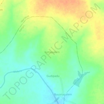
Name: Kottapalem topographic map, elevation, terrain.
Location: Kottapalem, Kanigiri, Prakasam, Andhra Pradesh, India (15.38412 79.65253 15.42412 79.69253)
Average elevation: 73 m
Minimum elevation: 55 m
Maximum elevation: 96 m