
Roswell topographic map
Interactive map
Click on the map to display elevation.
About this map
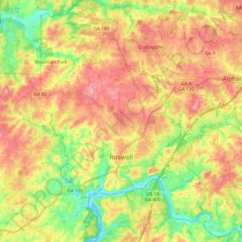
Name: Roswell topographic map, elevation, terrain.
Location: Roswell, Fulton County, Georgia, United States (33.97174 -84.41913 34.11824 -84.26159)
Average elevation: 316 m
Minimum elevation: 257 m
Maximum elevation: 369 m
Other topographic maps
Click on a map to view its topography, its elevation and its terrain.
Atlanta
United States > Georgia > Fulton County
Atlanta, Fulton County, Georgia, United States
Average elevation: 284 m