
Harisal topographic map
Interactive map
Click on the map to display elevation.
About this map
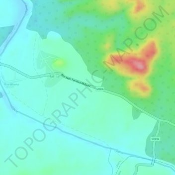
Name: Harisal topographic map, elevation, terrain.
Location: Harisal, Dharni, Amravati, Maharashtra, India (21.52050 77.10763 21.54698 77.13610)
Average elevation: 400 m
Minimum elevation: 366 m
Maximum elevation: 496 m