
最上町 topographic map
Interactive map
Click on the map to display elevation.
About this map
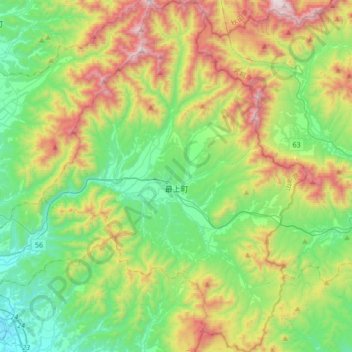
Name: 最上町 topographic map, elevation, terrain.
Location: 最上町, 最上郡, Präfektur Yamagata, Japan (38.63383 140.38936 38.90073 140.64647)
Average elevation: 480 m
Minimum elevation: 49 m
Maximum elevation: 1,360 m