
Thank you for supporting this site ❤️
Make a donation
Make a donation
Sultan Mastura topographic map
Click on the map to display elevation.
Thank you for supporting this site ❤️
Make a donation
Make a donation
About this map
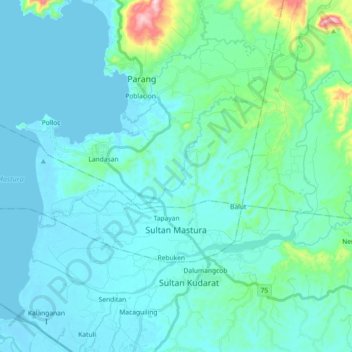
Name: Sultan Mastura topographic map, elevation, terrain.
Location: Sultan Mastura, Maguindanao del Norte, Bangsamoro, Philippines (7.28151 124.13745 7.36980 124.31937)
Average elevation: 43 m
Minimum elevation: -2 m
Maximum elevation: 358 m
Thank you for supporting this site ❤️
Make a donation
Make a donation