
Thank you for supporting this site ❤️
Make a donation
Make a donation
Muhudu ward topographic map
Click on the map to display elevation.
Thank you for supporting this site ❤️
Make a donation
Make a donation
About this map
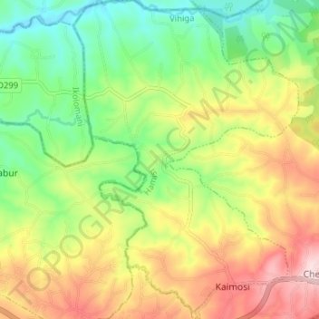
Name: Muhudu ward topographic map, elevation, terrain.
Location: Muhudu ward, Hamisi, Vihiga County, Western, Kenya (0.12038 34.81391 0.18505 34.85964)
Average elevation: 1,570 m
Minimum elevation: 1,445 m
Maximum elevation: 1,732 m
Thank you for supporting this site ❤️
Make a donation
Make a donation