
Aid topographic map
Interactive map
Click on the map to display elevation.
About this map
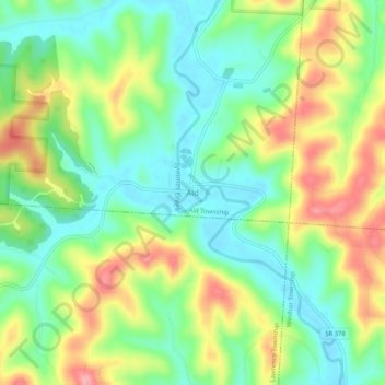
Name: Aid topographic map, elevation, terrain.
Average elevation: 220 m
Minimum elevation: 171 m
Maximum elevation: 296 m
Other topographic maps
Click on a map to view its topography, its elevation and its terrain.
Proctorville
Vereinigte Staaten von Amerika > Ohio > Lawrence County
Proctorville, Lawrence County, Ohio, Vereinigte Staaten von Amerika
Average elevation: 174 m