
Thank you for supporting this site ❤️
Make a donation
Make a donation
Pine Forest topographic map
Click on the map to display elevation.
Thank you for supporting this site ❤️
Make a donation
Make a donation
About this map
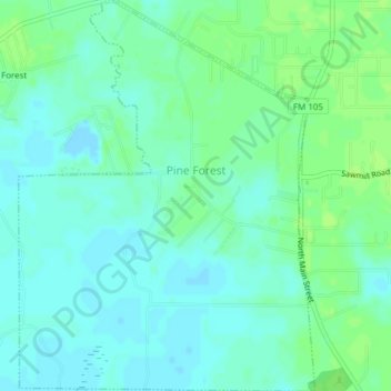
Name: Pine Forest topographic map, elevation, terrain.
Location: Pine Forest, Orange County, Texas, United States (30.16263 -94.05173 30.19568 -94.02268)
Average elevation: 5 m
Minimum elevation: -2 m
Maximum elevation: 10 m
Thank you for supporting this site ❤️
Make a donation
Make a donation