
Thank you for supporting this site ❤️
Make a donation
Make a donation
Akole topographic map
Click on the map to display elevation.
Thank you for supporting this site ❤️
Make a donation
Make a donation
About this map
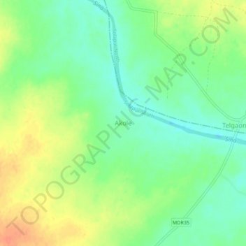
Name: Akole topographic map, elevation, terrain.
Location: Akole, Solapur South, Solapur, Maharashtra, India (17.57456 75.76102 17.61456 75.80102)
Average elevation: 444 m
Minimum elevation: 425 m
Maximum elevation: 467 m
Thank you for supporting this site ❤️
Make a donation
Make a donation