
Axminster topographic map
Click on the map to display elevation.
About this map
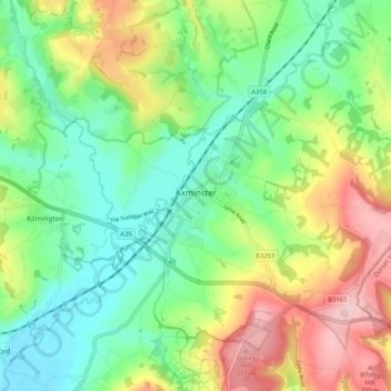
Name: Axminster topographic map, elevation, terrain.
Location: Axminster, East Devon, Devon, England, United Kingdom (50.75227 -3.04285 50.81098 -2.94095)
Average elevation: 86 m
Minimum elevation: 6 m
Maximum elevation: 225 m