
Mutare topographic map
Interactive map
Click on the map to display elevation.
About this map
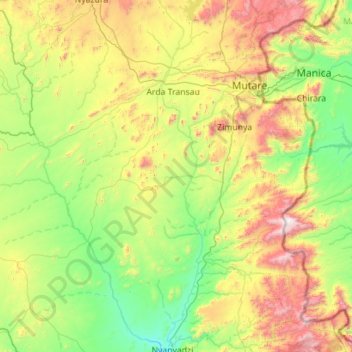
Name: Mutare topographic map, elevation, terrain.
Location: Mutare, Manicaland, Zimbabwe (-19.77875 32.01407 -18.71876 32.87753)
Average elevation: 995 m
Minimum elevation: 512 m
Maximum elevation: 2,266 m
Other topographic maps
Click on a map to view its topography, its elevation and its terrain.
Mount Nyangani
Mount Nyangani, Nyanga, Manicaland, Zimbabwe
Average elevation: 2,329 m