
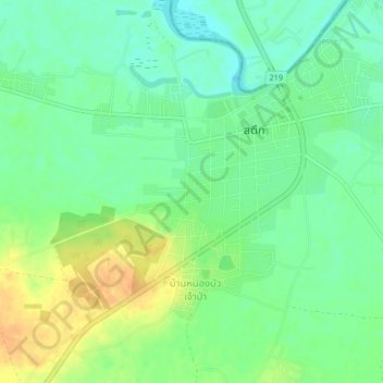
Ban Nikhom Sombun topographic map
Interactive map
Click on the map to display elevation.
About this map
Name: Ban Nikhom Sombun topographic map, elevation, terrain.
Location: Ban Nikhom Sombun, สตึก, ศรีสตึก, Buriram, 31150, Thaïlande (15.26816 103.26298 15.30816 103.30298)
Average elevation: 137 m
Minimum elevation: 123 m
Maximum elevation: 156 m