
Justous topographic map
Interactive map
Click on the map to display elevation.
About this map
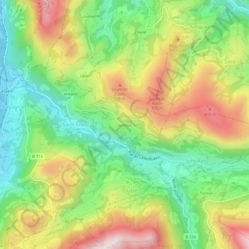
Name: Justous topographic map, elevation, terrain.
Average elevation: 641 m
Minimum elevation: 386 m
Maximum elevation: 979 m
Other topographic maps
Click on a map to view its topography, its elevation and its terrain.
Antalos
France > Occitanie > Hautes-Pyrénées > Saint-Créac
Antalos, Saint-Créac, Argelès-Gazost, Hautes-Pyrénées, Occitanie, France métropolitaine, 65100, France
Average elevation: 580 m