
Thank you for supporting this site ❤️
Make a donation
Make a donation
Tekes County topographic map
Click on the map to display elevation.
Thank you for supporting this site ❤️
Make a donation
Make a donation
About this map
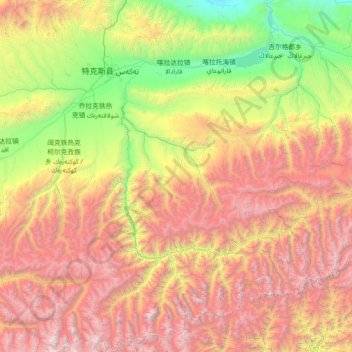
Name: Tekes County topographic map, elevation, terrain.
Location: Tekes County, Ili, Xinjiang, China (42.37177 81.31699 43.42345 82.65075)
Average elevation: 2,514 m
Minimum elevation: 799 m
Maximum elevation: 5,116 m
Thank you for supporting this site ❤️
Make a donation
Make a donation
Other topographic maps
Click on a map to view its topography, its elevation and its terrain.