
Thank you for supporting this site ❤️
Make a donation
Make a donation
Flag Springs topographic map
Click on the map to display elevation.
Thank you for supporting this site ❤️
Make a donation
Make a donation
About this map
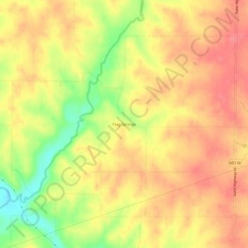
Name: Flag Springs topographic map, elevation, terrain.
Location: Flag Springs, Andrew County, Missouri, United States (40.00499 -94.68691 40.04499 -94.64691)
Average elevation: 314 m
Minimum elevation: 269 m
Maximum elevation: 339 m
Thank you for supporting this site ❤️
Make a donation
Make a donation
Other topographic maps
Click on a map to view its topography, its elevation and its terrain.
Thank you for supporting this site ❤️
Make a donation
Make a donation
Thank you for supporting this site ❤️
Make a donation
Make a donation