
Thank you for supporting this site ❤️
Make a donation
Make a donation
Etowah topographic map
Click on the map to display elevation.
Thank you for supporting this site ❤️
Make a donation
Make a donation
About this map
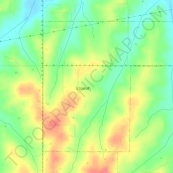
Name: Etowah topographic map, elevation, terrain.
Location: Etowah, Cleveland County, Oklahoma, United States (35.11627 -97.17770 35.13833 -97.14199)
Average elevation: 334 m
Minimum elevation: 307 m
Maximum elevation: 364 m
Thank you for supporting this site ❤️
Make a donation
Make a donation
Other topographic maps
Click on a map to view its topography, its elevation and its terrain.