
Letabera topographic map
Click on the map to display elevation.
About this map
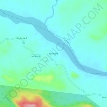
Name: Letabera topographic map, elevation, terrain.
Location: Letabera, Bolba, Simdega District, Jharkhand, India (22.39025 84.38588 22.43025 84.42588)
Average elevation: 249 m
Minimum elevation: 219 m
Maximum elevation: 397 m