
Winder topographic map
Interactive map
Click on the map to display elevation.
About this map
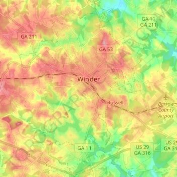
Name: Winder topographic map, elevation, terrain.
Location: Winder, Barrow County, Géorgie, 30680, États-Unis d'Amérique (33.93640 -83.76620 34.03697 -83.68046)
Average elevation: 274 m
Minimum elevation: 221 m
Maximum elevation: 322 m
Other topographic maps
Click on a map to view its topography, its elevation and its terrain.
Mulberry River
États-Unis d'Amérique > Géorgie > Barrow County > Braselton
Mulberry River, Braselton, Barrow County, Géorgie, 30548, États-Unis d'Amérique
Average elevation: 259 m