
Botos topographic map
Interactive map
Click on the map to display elevation.
About this map
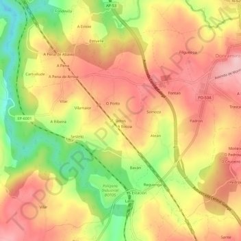
Name: Botos topographic map, elevation, terrain.
Location: Botos, Lalín, Deza, Pontevedra, Galicia, 36519, España (42.62497 -8.16488 42.66497 -8.12488)
Average elevation: 517 m
Minimum elevation: 405 m
Maximum elevation: 595 m