
West Cook topographic map
Click on the map to display elevation.
About this map
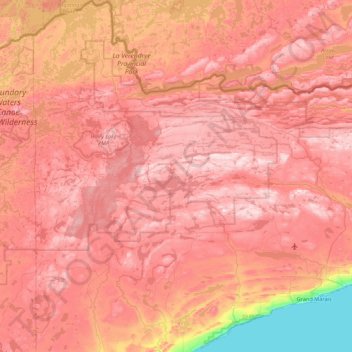
Name: West Cook topographic map, elevation, terrain.
Location: West Cook, Cook County, Minnesota, 55604, United States (47.66191 -91.03108 48.24594 -90.25642)
Average elevation: 501 m
Minimum elevation: 177 m
Maximum elevation: 694 m