
Արտաշավան topographic map
Interactive map
Click on the map to display elevation.
About this map
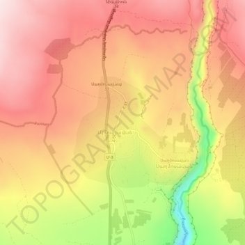
Name: Արտաշավան topographic map, elevation, terrain.
Location: Արտաշավան, Provinz Aragazotn, Armenien (40.36786 44.36285 40.40786 44.40285)
Average elevation: 1,646 m
Minimum elevation: 1,361 m
Maximum elevation: 1,812 m