
Mamonal topographic map
Interactive map
Click on the map to display elevation.
About this map
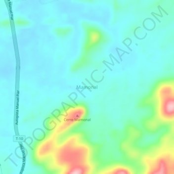
Name: Mamonal topographic map, elevation, terrain.
Average elevation: 319 m
Minimum elevation: 282 m
Maximum elevation: 457 m
Other topographic maps
Click on a map to view its topography, its elevation and its terrain.
Los Arados
Venezuela > Estado Bolívar > Municipio Piar
Los Arados, Parroquia Upata, Municipio Piar, Estado Bolívar, Venezuela
Average elevation: 97 m