
Las Esperanza topographic map
Interactive map
Click on the map to display elevation.
About this map
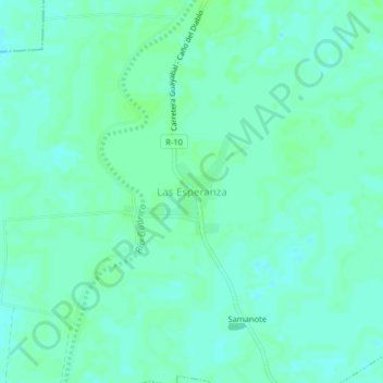
Name: Las Esperanza topographic map, elevation, terrain.
Location: Las Esperanza, Distrito Miranda, Estado Guárico, Venezuela (8.01437 -67.43803 8.05437 -67.39803)
Average elevation: 46 m
Minimum elevation: 42 m
Maximum elevation: 50 m