
Rochester topographic map
Interactive map
Click on the map to display elevation.
About this map
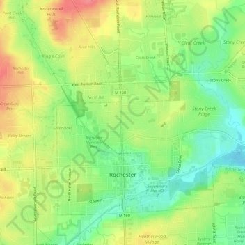
Name: Rochester topographic map, elevation, terrain.
Location: Rochester, Oakland County, Michigan, United States (42.67394 -83.14860 42.70440 -83.09382)
Average elevation: 242 m
Minimum elevation: 208 m
Maximum elevation: 281 m