
Nemawar topographic map
Interactive map
Click on the map to display elevation.
About this map
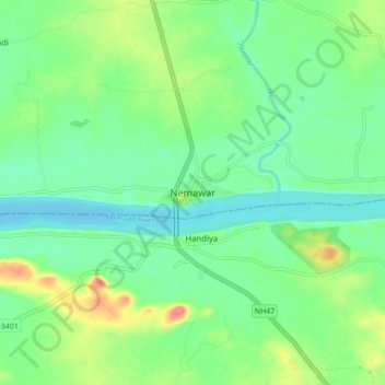
Name: Nemawar topographic map, elevation, terrain.
Location: Nemawar, Handiya Tahsil, Harda, Madhya Pradesh, India (22.45609 76.93977 22.53609 77.01977)
Average elevation: 279 m
Minimum elevation: 257 m
Maximum elevation: 327 m