
ระนอง topographic map
Interactive map
Click on the map to display elevation.
About this map
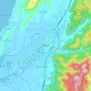
Name: ระนอง topographic map, elevation, terrain.
Location: ระนอง, จังหวัดระนอง, 8500, Thaïlande (9.92007 98.58389 10.00007 98.66389)
Average elevation: 68 m
Minimum elevation: -1 m
Maximum elevation: 640 m