
Daingerfield topographic map
Click on the map to display elevation.
About this map
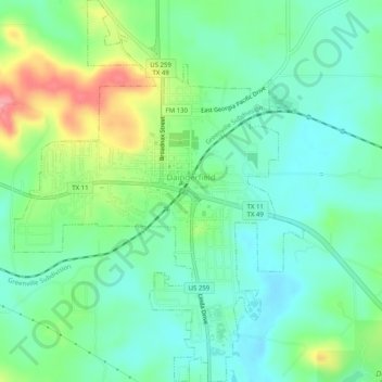
Name: Daingerfield topographic map, elevation, terrain.
Location: Daingerfield, Morris County, Texas, 75638, United States (33.00916 -94.74537 33.05140 -94.70710)
Average elevation: 119 m
Minimum elevation: 87 m
Maximum elevation: 190 m