
Pungo topographic map
Interactive map
Click on the map to display elevation.
About this map
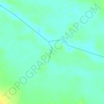
Name: Pungo topographic map, elevation, terrain.
Location: Pungo, Malanje, Angola (-10.32460 17.26463 -10.31916 17.26566)
Average elevation: 1,077 m
Minimum elevation: 1,068 m
Maximum elevation: 1,093 m
Other topographic maps
Click on a map to view its topography, its elevation and its terrain.