
Panwel topographic map
Interactive map
Click on the map to display elevation.
About this map
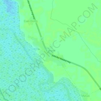
Name: Panwel topographic map, elevation, terrain.
Location: Panwel, Jonglei, South Sudan (5.91203 31.67604 5.95203 31.71604)
Average elevation: 431 m
Minimum elevation: 426 m
Maximum elevation: 435 m