
Kavalangad topographic map
Interactive map
Click on the map to display elevation.
About this map
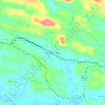
Name: Kavalangad topographic map, elevation, terrain.
Location: Kavalangad, Ernakulam, Kerala, India (10.03486 76.67941 10.07486 76.71941)
Average elevation: 56 m
Minimum elevation: 22 m
Maximum elevation: 142 m