
Ohi topographic map
Interactive map
Click on the map to display elevation.
About this map
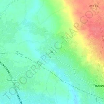
Name: Ohi topographic map, elevation, terrain.
Location: Ohi, Mbaitoli, Imo, Nigeria (5.53118 6.97692 5.57118 7.01692)
Average elevation: 84 m
Minimum elevation: 61 m
Maximum elevation: 126 m